

XGRIDS / Handheld spatial scanner
Lixel L3
Accuracy meets photorealism.
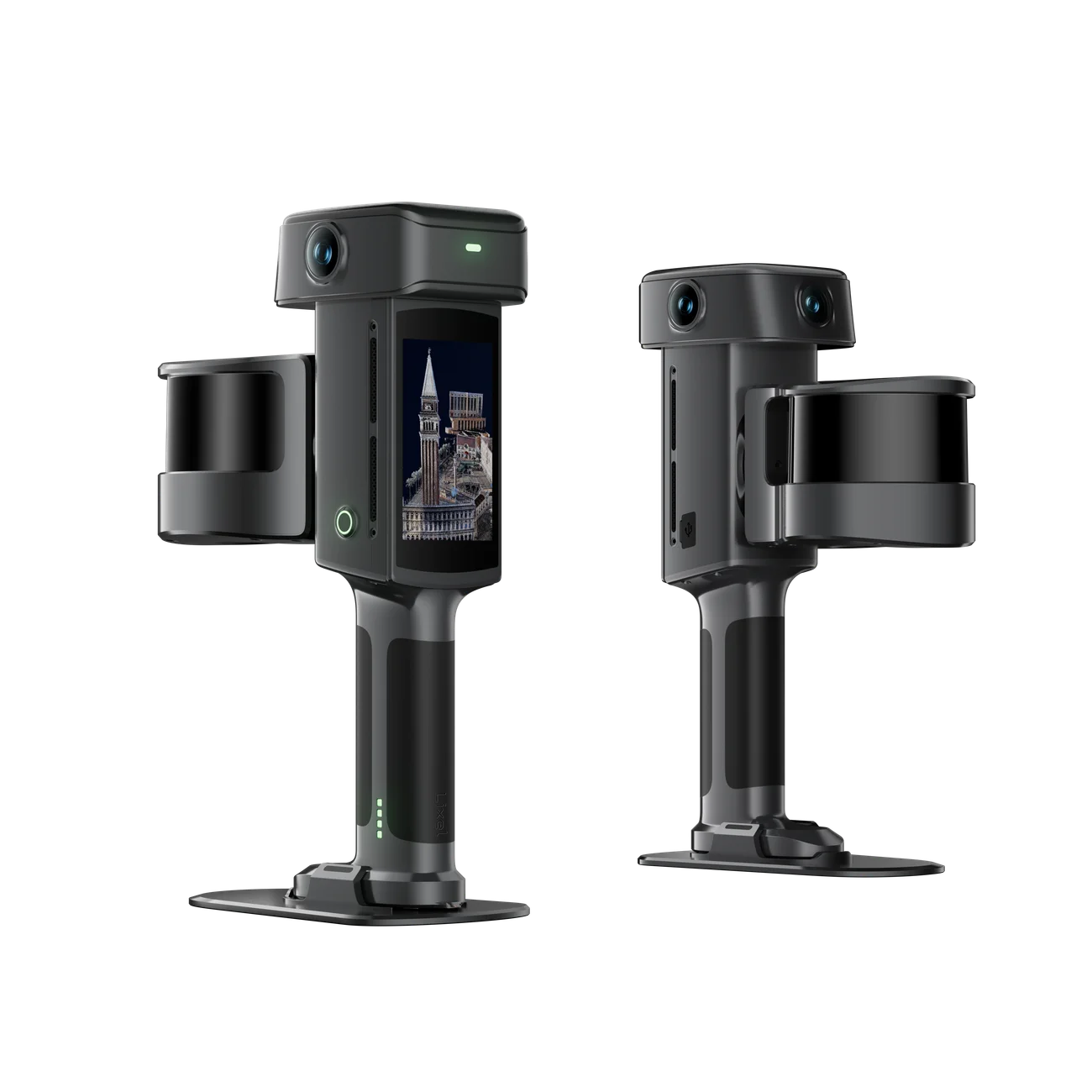
Capture complex spaces with a handheld LiDAR scanner built for precise geometry and lifelike color. One capture supports point clouds, meshes, and 3D Gaussian Splatting.
- 5 mm
- Relative accuracy (typical, 1σ)
- 120 m
- Maximum scan range
- 640,000
- Points/second · 32-channel model
- 1 TB
- Internal storage
5 mm: typical post-processed relative accuracy at 1σ, tested in an approximately 500 m² environment. Actual results depend on capture conditions; see the accuracy whitepaper.
Measured performance
Precision you can put in context.
XGrids specifies 5 mm typical post-processed relative accuracy at 1σ. In its indoor validation study, seven L3 units completed 20 scans across a 507 m² site. The pooled 1,524 point-pair comparisons measured 4.2 mm deviation at the 68th percentile, without GCP optimization.
This is a relative-distance result under the documented test conditions, not an absolute-position guarantee. Site geometry, scan path, and environmental conditions affect actual results.
Read the accuracy whitepaper (PDF)One capture. Three ways to use it.
True-color point clouds
Use LixelStudio to process, colorize, and refine point clouds for surveying, AEC, and industrial documentation.
3D Gaussian Splatting
Reconstruct photorealistic spaces with Lixel CyberColor for immersive presentations and digital twins.
Detailed meshes
Produce surface models for design and visualization. The brochure lists OBJ and OSGB mesh outputs.
XGrids Lixel L3 introduction · English video
Lixel L3
Built for the whole site.
Choose 16 or 32 laser channels. Both models combine a built-in RTK module, panoramic imaging, and on-device model preview and measurement.
Download the brochure (PDF)- Models
- 16-channel / 32-channel
- Scan range
- 0.7–120 m
- Point rate · 16 / 32 channels
- 320,000 / 640,000 pts/s
- Relative accuracy · post-processed
- 5 mm (typical, 1σ; ~500 m² test)
- Absolute accuracy · post-processed
- 2 cm (RMSE; favorable GNSS conditions)
- Weight · including battery
- Approx. 2.5 kg
- Operating time
- 100 min
- Storage / transfer
- 1 TB UFS / USB 3.1 Gen2
- Cameras
- 1 forward + 2 panoramic · 1/1.3-inch CMOS · DCG HDR
- Display
- 4.3-inch TFT · up to 1,000 nits
- Protection / temperature
- IP54 / −20 to 50 °C
- Built-in RTK
- Supported
Manufacturer specifications. Weight includes the device and battery; other components are excluded. The 2 cm absolute accuracy is horizontal/vertical RMSE under open sky, without multipath, with favorable GNSS geometry and atmospheric conditions. See the brochure for all test conditions.
From the field to your team.
01
Capture
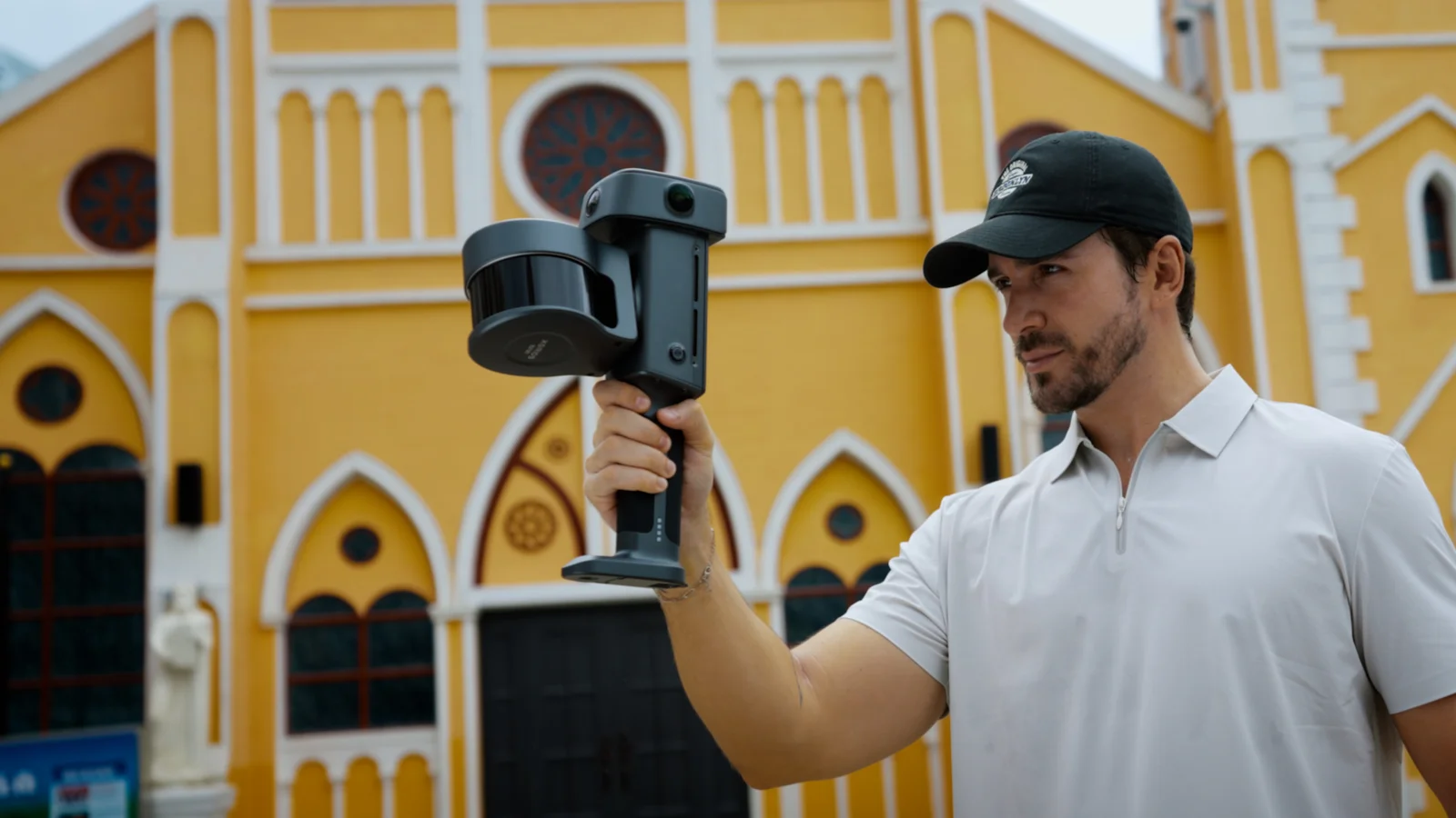
Preview the model and take measurements on the 4.3-inch screen while collecting your site.
02
Process
Use L3-compatible LixelStudio for point clouds or Lixel CyberColor for Gaussian Splatting. Export the deliverable your project needs.
03
Share
Upload a supported processed export to Splat Labs to view and share your project with clients and collaborators.
Process your capture before uploading. Cloud format support and plan requirements depend on the output; native L3 formats are not automatically supported. Confirm the export workflow and software license for your device.
Explore Splat LabsBring your next project into focus.
Talk with Splat Labs about the L3 configuration, processing software, pricing, and availability for your workflow.